The Weather Guy – Final Flurries of the Season
Posted on 26 Sep, 2017 in Weather Forecast

We’ve been enjoying beautiful blue skies and springtime sunshine today, but we can expect some weather to move in with dropping temperatures as the week draws to a close.
A few light, isolated showers are expected to develop later on Wednesday afternoon, but luckily any precipitation is looking minimal and shouldn’t have too much impact on conditions.
Temperatures are likely to drop into Thursday with showers turning to snow about the peaks, before conditions cool off even further with the snow level falling to around 1500-1600m on Friday.
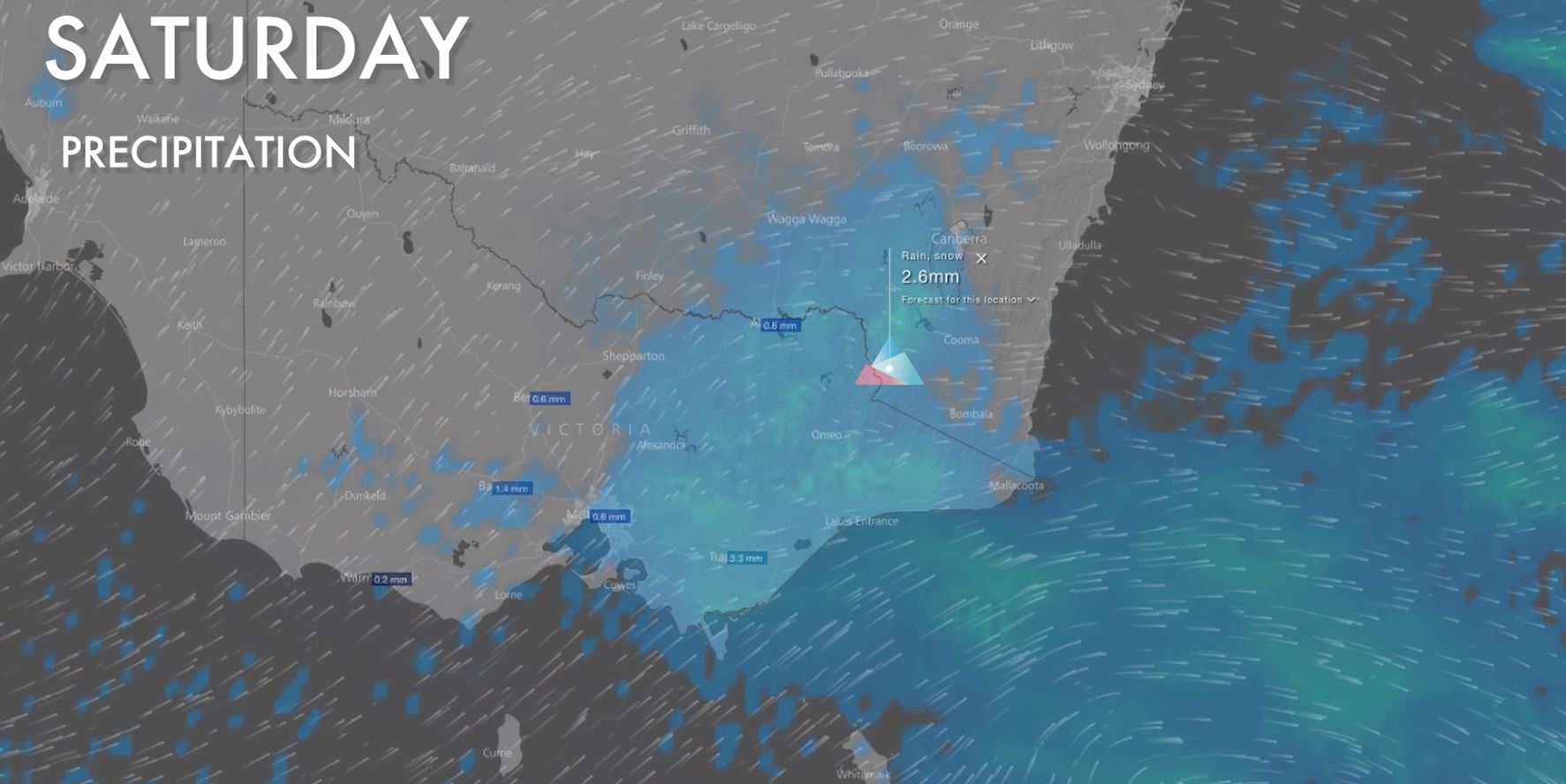
A cold front is due to move over the Snowy Mountains on Saturday, leading to the snowiest day of the period. While models are still coming into agreement, there is the potential for 5-10cm on Saturday which would put us in a great position for the last couple of days of the season.
Not only that, but cold air should allow snow flurries to fall as low as 1300-1400m giving the majority of the mountain a great top up.

A high pressure ridge is likely to build on Sunday and Monday leading to mostly sunny conditions with easing winds. What better way to bring an amazing season to a close!
Thanks to all who have been following the forecasts this season, it’s been awesome. Keep an eye on our social channels for the season wrap and we hope to see you next year!
Whether you ski, snowboard, hike, mountain bike or are visiting for the first time, our app is your companion to Australia’s Premier Adventure Destination.


Sign up for news
Subscribe to our newsletter to receive deals, the latest weather, forecasts, news, events and more!
Thredbo sits on the traditional land of the Monero – Ngarigo people who have looked after this land, water and community for over 60,000 years. We thank them for all they have done and continue to do to look after their country, a special place which we all love and respect.